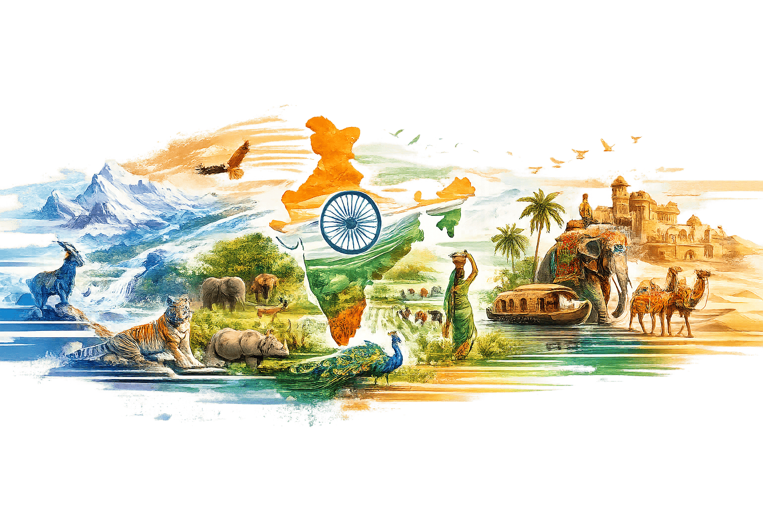
Indian Geography
🌍 Expand your horizons with comprehensive general knowledge covering history, geography, science, culture, and current events. Stay informed and aware.
Introduction
Study MaterialIndian Geography
Indian Geography is one of the most important sections of General Knowledge for competitive examinations, interviews, and academic studies. It helps candidates understand India’s physical features, rivers, mountains, climate, states, natural resources, agriculture, and environmental diversity.
Indian Geography mainly covers Physiographic Divisions, Climate, Rivers, Mountains, Soil, Forests, Agriculture, States & Capitals, Natural Resources, Population, and Environmental Geography of India.
What is Indian Geography?
Indian Geography is the study of India’s physical structure, climate, natural resources, political divisions, population distribution, and environmental features.
Indian Geography mainly includes:
- Physical Features of India
- Mountains & Plateaus
- Rivers & Lakes
- Climate & Monsoon
- States & Capitals
- Soil & Agriculture
- Natural Vegetation & Wildlife
- Mineral & Energy Resources
- Population & Transport
- Environmental Geography
Location of India
India is located in South Asia and lies completely in the Northern and Eastern Hemispheres.
| Geographical Feature | Details |
|---|---|
| Latitudinal Extent | 8°4'N to 37°6'N |
| Longitudinal Extent | 68°7'E to 97°25'E |
| Tropic of Cancer | Passes through middle of India |
| Standard Meridian of India | 82°30'E |
| Total Area of India | 3.28 Million sq. km |
| India’s Rank by Area | 7th Largest Country |
Physiographic Divisions of India
- The Himalayan Mountains
- Northern Plains
- Peninsular Plateau
- Indian Desert
- Coastal Plains
- Islands of India
Important Physical Features
| Feature | Important Fact |
|---|---|
| Himalayas | Young fold mountains |
| Northern Plains | Formed by rivers |
| Deccan Plateau | Oldest plateau region |
| Thar Desert | Located in Rajasthan |
| Western Ghats | Higher than Eastern Ghats |
| Andaman & Nicobar | Largest island group of India |
Rivers of India
Rivers are very important for agriculture, irrigation, transportation, and hydroelectric power generation in India.
- Ganga → Longest river in India
- Brahmaputra → Flows through Assam
- Yamuna → Tributary of Ganga
- Godavari → Largest Peninsular River
- Narmada → Flows westward
- Kaveri → Important South Indian River
- Krishna → Major river of South India
- Mahanadi → Important river of Odisha
Climate of India
| Season | Duration |
|---|---|
| Winter Season | December to February |
| Summer Season | March to May |
| Monsoon Season | June to September |
| Retreating Monsoon | October to November |
States & Neighbouring Countries
- India shares land borders with 7 countries.
- Pakistan lies to the west of India.
- China lies to the north of India.
- Bangladesh lies to the east of India.
- Sri Lanka is separated by Palk Strait.
- Indian Ocean lies to the south of India.
- Arabian Sea lies to the west.
- Bay of Bengal lies to the east.
Natural Resources & Agriculture
| Resource | Importance |
|---|---|
| Coal | Main source of energy |
| Iron Ore | Industrial development |
| Black Soil | Best for cotton cultivation |
| Alluvial Soil | Highly fertile soil |
| Rice | Major food crop |
| Wheat | Important Rabi crop |
Most Important Topics in Indian Geography
- Rivers & River Systems
- Mountains & Plateaus
- States & Capitals
- Climate & Monsoon
- Soils & Agriculture
- Mineral Resources
- National Parks & Wildlife
- Transport & Communication
- Neighbouring Countries
- Important Geographical Locations
Importance of Indian Geography in Exams
Competitive Exams
Frequently asked in UPSC, SSC, Railway, Banking, and Defence exams.
Map-Based Learning
Improves understanding of India’s geographical locations and boundaries.
Environmental Awareness
Helps understand climate, forests, rivers, and natural resources.
Current Affairs
Useful for understanding weather, disasters, and environmental issues.
How to Prepare Indian Geography?
- Study Indian map regularly.
- Learn rivers, mountains, and states carefully.
- Understand climate and monsoon concepts.
- Practice map-based questions.
- Revise important geographical facts daily.
- Practice previous year geography MCQs.
Quick Learning Framework
Learn Indian Map
↓
Study Rivers & Mountains
↓
Understand Climate & Monsoon
↓
Practice Geography MCQs
↓
Revise Important Facts
↓
Improve Exam Accuracy
Final Takeaway
Indian Geography provides deep understanding about India’s physical features, climate, rivers, resources, states, and environmental diversity.
Strong preparation in Indian Geography improves General Knowledge, map-reading skills, analytical thinking, and competitive examination performance significantly.